 |
||||
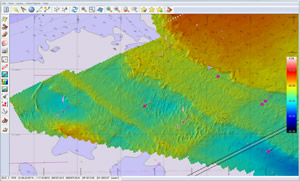
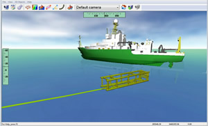
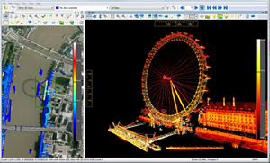
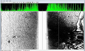
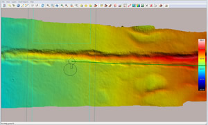
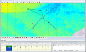
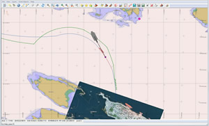
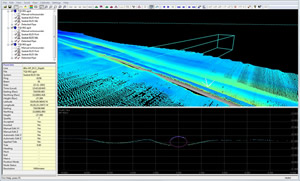
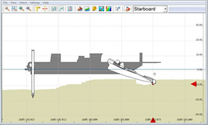
| QINSy (Quality Integrated Navigation System) is a hydrographic data acquisition, navigation and processing software package. The suite of applications can be used for various types of surveys, ranging from simple single beam surveys up to complex offshore construction works. |
||||
QINSy Software Applications |
||||
 |
 |
 |
||
 |
 |
 |
||
 |
 |
 |
||
 |
The Hydrographic, Geophysical and Positioning Equipment Source |
|
Email: sales@mosaicgeo.com |
Phone:+1(902) 999-7267 |
|
"MosaicGeo" is a Registered Trademark. ©Copyright 2014 All rights reserved. |
||