|
||||||||||||
| Benefits: | Components: | |
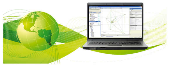
• The Smart Software Solution - From project planning through to project completion, with POSPac MMS for Marine Applications you can schedule your mission using planning tools to take advantage of the most suitable GPS conditions, utilize the smart time-saving features for effortless data processing, and customize your options with powerful quality control and analysis tools. • Customized Processing - POSPac MMS Marine represents a major step in software functionality. It is a complete solution for easy post-processing of raw GPS data, providing all the flexibility necessary for task-specific processing. • Easy and Intuitive - Designed as a modular software suite, POSPac MMS Marine is optimized for streamlined field-to-office workflow, allowing the user to take full advantage of only those features required to suit a particular application. |
• EXTRACT: Used for extracting, viewing and plotting sensor and navigation data from logged files • POSGPS: A raw GPS data processing module with multiple base station features. Carrier phase resolution is done within the software for maximum accuracy. • POSProc: Computes the best aided inertial navigation solution from inertial data extracted using POSRT, the differential GPS solution computed using POSGPS, together with other available aiding sensor data. Calculated 200 times per second, the solution includes 3D location, orientation angles, velocity, acceleration and angular rate. • POSEO: Computes camera coordinates and exterior orientation angles in the local mapping frame, using the navigation solution computed in the POSProc module. • CalQC: Allows for the efficient processing of raw digital imagery and POS AV data. The calibration and quality control features allow greater control over boresight information, system calibration, and integrated sensor orientation for QA/QC tasks. |

